
Author: Rainymap
-

How to Use a Live Rain Radar Map to Plan Outdoor Events
The most reliable way to use rain radar for planning an outdoor event is to check the animated loop, not a single frame, starting the morning of the event and again roughly an hour before it begins, so you’re watching how a system is actually moving rather than guessing from one static snapshot. Start With…
-
Radar Blind Spots: Why Mountains and Distance Affect Rain Radar Accuracy
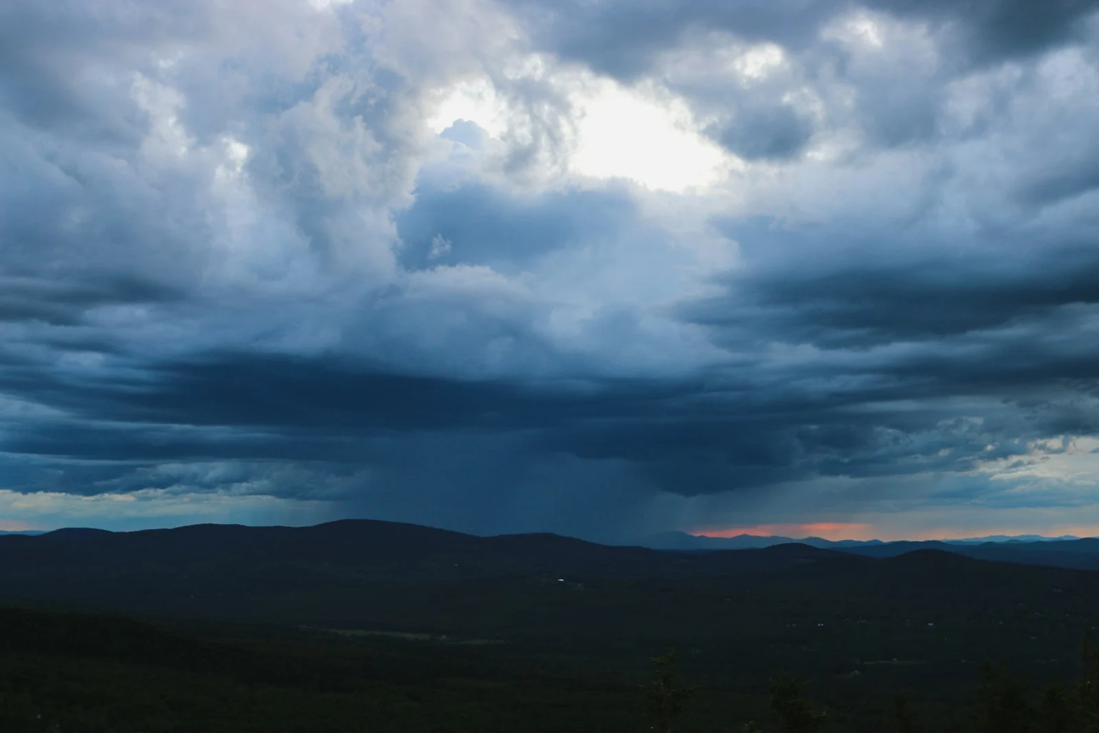
Radar blind spots happen for two main reasons: mountains and hills physically block the radar beam from reaching certain valleys, and the beam itself rises higher above the ground the farther it travels from its source, meaning distant locations only ever get a view of the upper part of a storm. Terrain Blockage: When the…
-
Can Weather Radar Accurately Track Snow? What to Know Before Winter
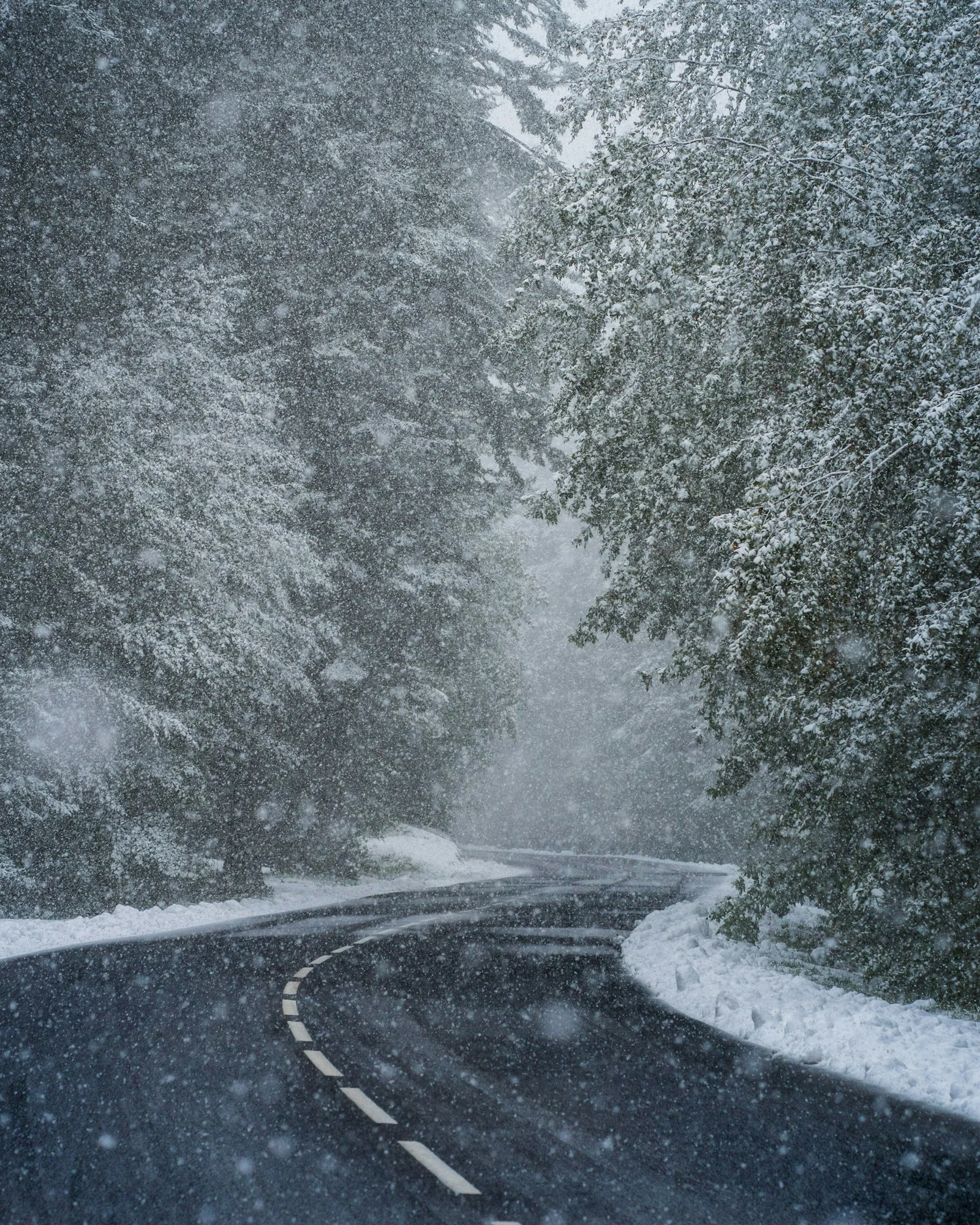
Weather radar can detect snow, but it’s noticeably less reliable at it than at detecting rain, mainly because snowflakes reflect far less energy than raindrops and because the radar beam frequently overshoots shallow winter storm systems entirely. Why Snow Is Harder for Radar to “See” Snowflakes are less dense and reflect radar energy much less…
-
How to Track a Hurricane in Real Time Using Radar and Satellite Maps
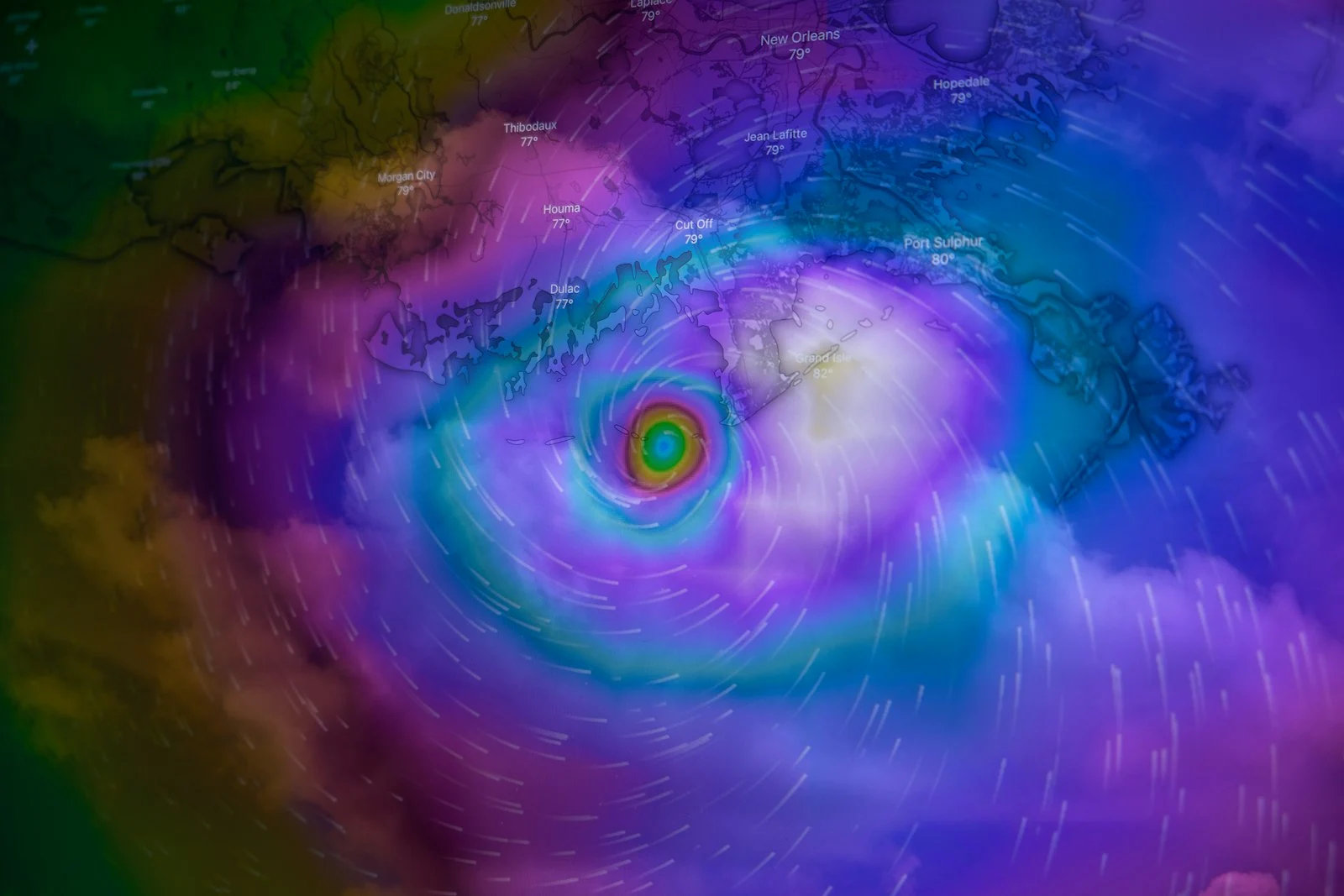
Tracking a hurricane in real time means combining three different tools: satellite imagery to see the storm’s overall structure, rain radar once it nears land to see rain bands and intensity up close, and the official forecast cone to understand where it’s likely headed. Satellite Imagery: The Big Picture Satellites are how a hurricane is…
-
Understanding Radar Reflectivity (dBZ): From Light Drizzle to Severe Storms
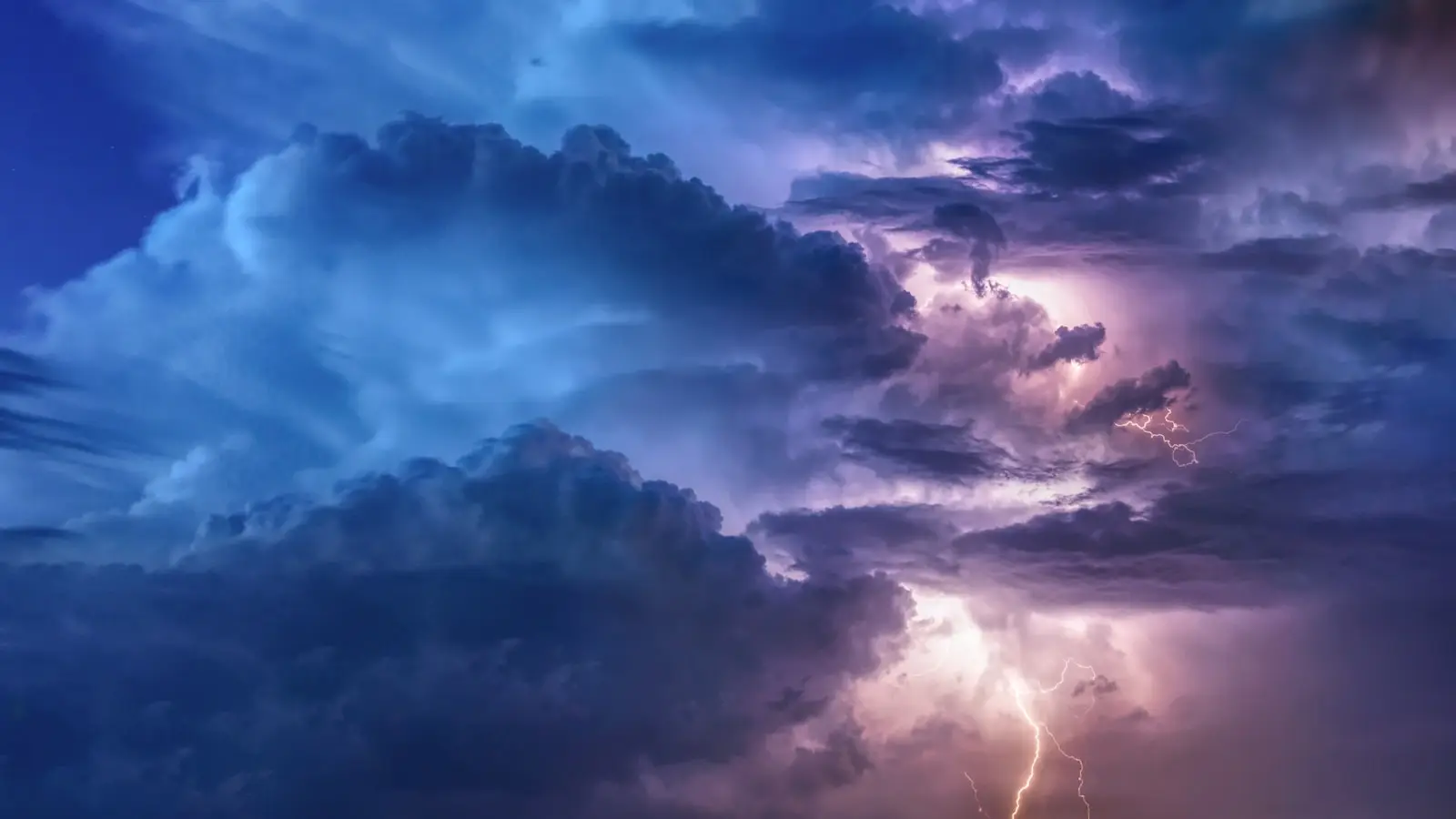
dBZ (decibels relative to Z) is the unit meteorologists use to measure radar reflectivity, and it’s the actual number behind every color you see on a rain radar map, from light green drizzle to alarming shades of red and purple. What dBZ Actually Measures When a radar pulse hits raindrops, hail, or snowflakes, some of…
-
NEXRAD Explained: How America’s Weather Radar Network Works
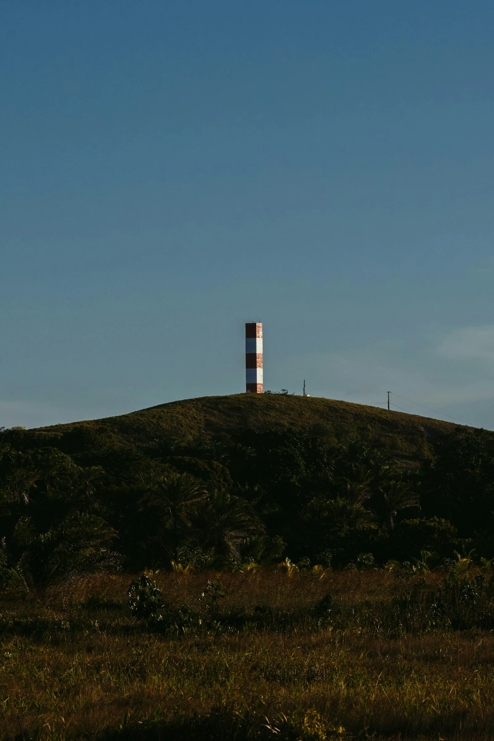
NEXRAD (Next-Generation Radar) is the network of about 160 high-powered Doppler radar stations operated by the National Weather Service that supplies the radar data behind nearly every rain map, weather app, and severe storm warning in the United States. A Nationwide Web of Radar Towers Each NEXRAD station, officially designated WSR-88D, sits inside the large…
-
Why Does Rain Radar Sometimes Show Nothing When It’s Actually Raining?
If it’s raining outside but your radar map looks clear, the most likely explanation is that the radar beam is scanning well above the rain, the precipitation is too light to register strongly, or the map simply hasn’t refreshed yet. The Radar Beam Isn’t Scanning at Ground Level Weather radar doesn’t look straight down; it…
-
What Is Doppler Radar and How Does It Detect Storms in Real Time?
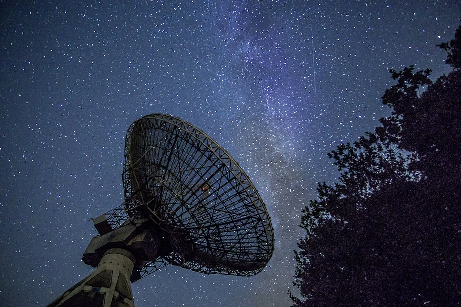
Doppler radar detects precipitation and wind by sending out pulses of radio waves and measuring how their frequency shifts when they bounce off raindrops, snowflakes, or hail, a phenomenon called the Doppler effect. The Doppler Effect, in Plain Terms You’ve heard the Doppler effect before, even if you didn’t know the name: it’s why a…
-
Europe’s 2026 Heatwave and the Global Pattern Behind It
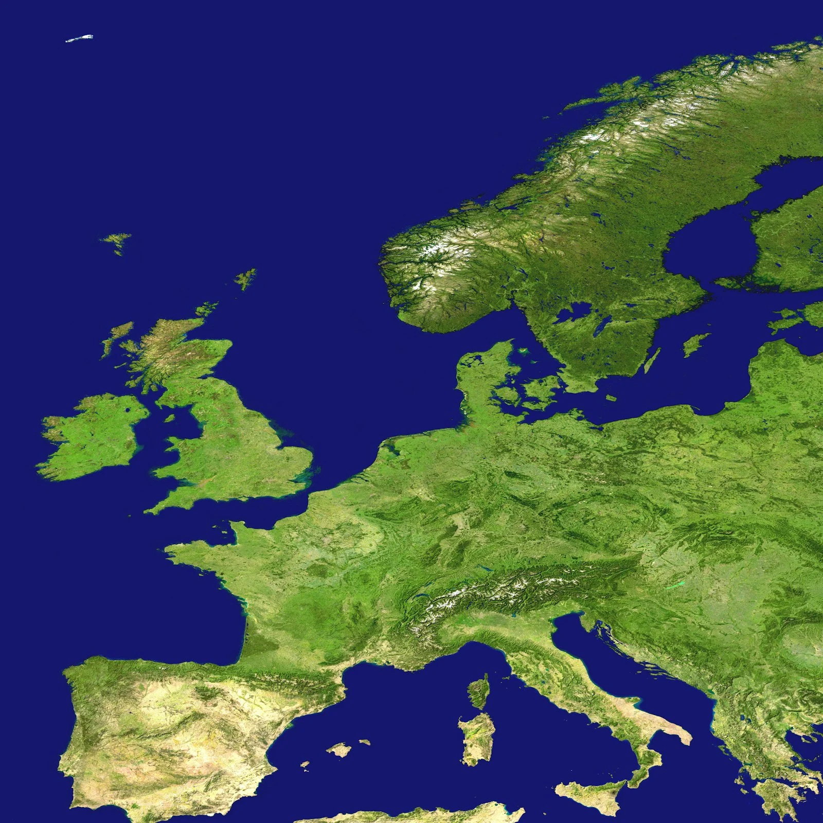
A severe heatwave pushed land surface temperatures above 50°C (122°F) in parts of France and Spain in June 2026, and by early July more than 1,300 excess deaths linked to the heat had been recorded across Europe. Europe Is Warming Faster Than Almost Anywhere Else Europe is the fastest-warming continent on record, with average temperatures…
-
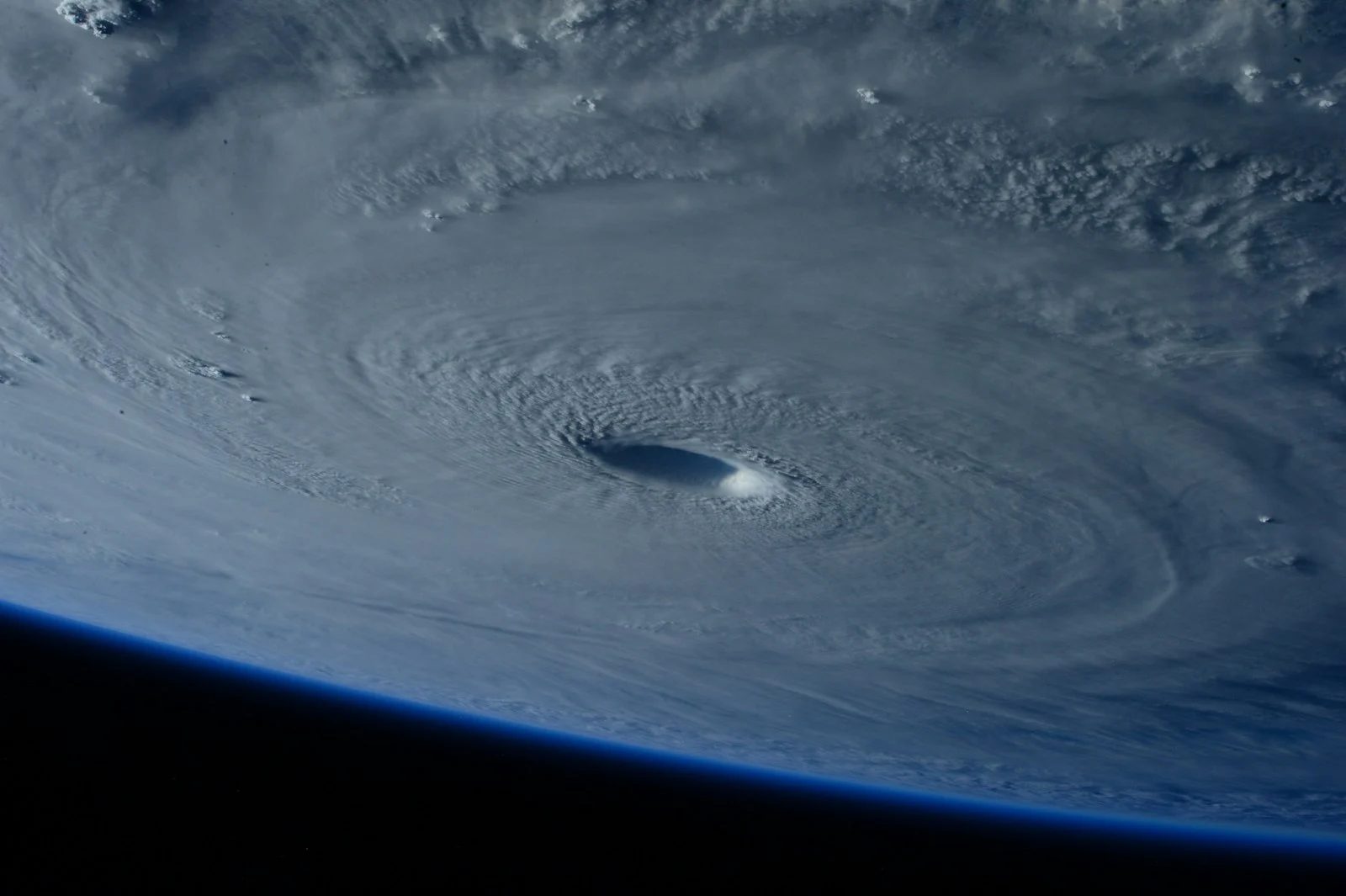
2026 Atlantic Hurricane Season Update: Tropical Storm Arthur and What Comes Next
The 2026 Atlantic hurricane season, running June 1 through November 30, got its first named storm on June 17 when Tropical Storm Arthur formed, and forecasters are calling for a below-normal season overall. What Forecasters Are Predicting NOAA gives the Atlantic basin a 55% chance of a below-normal season, a 35% chance of near-normal activity,…