
Category: Weather Explained
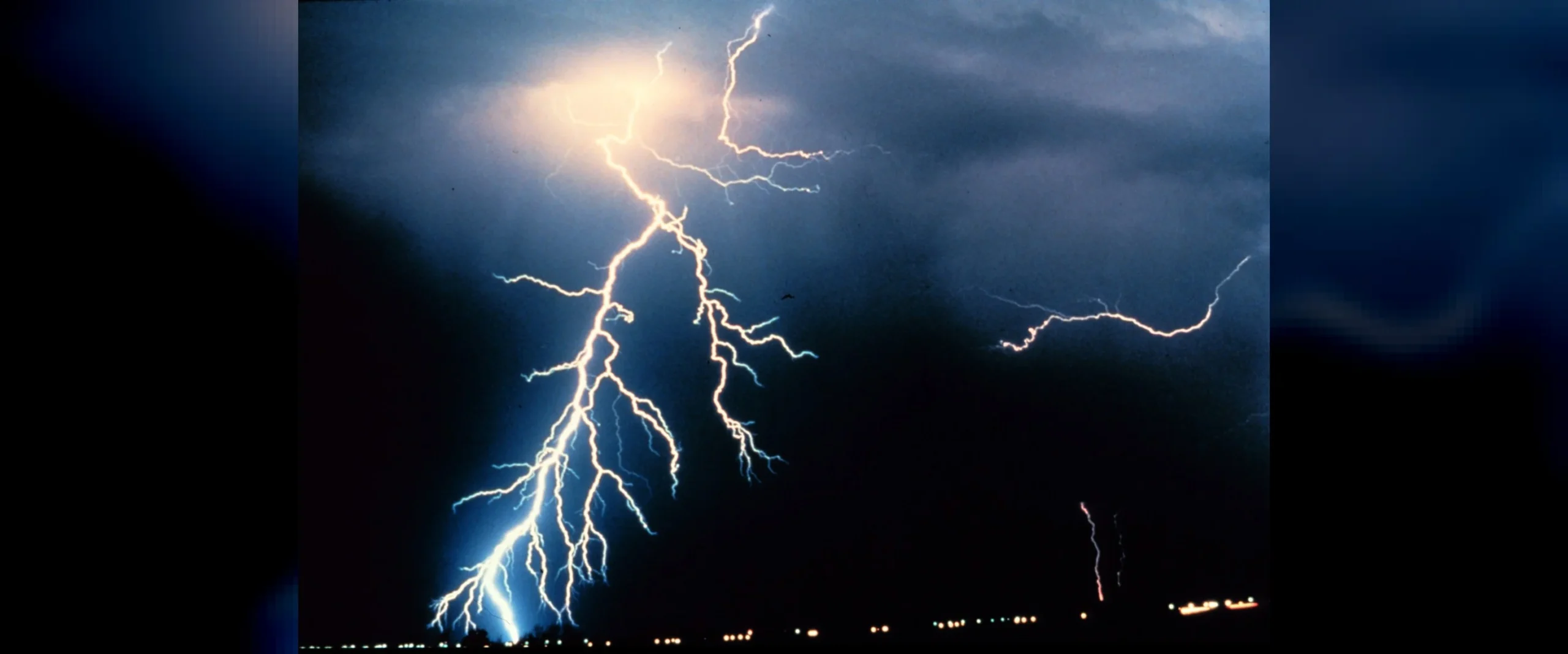
How to Read a Live Lightning Map: Colours, Strike Age and Accuracy Explained
Last updated: 4 October 2026. Map details checked against the live Blitzortung map used on RainyMap; safety guidance from NOAA’s National Weather Service. Quick Answer On a live lightning map, every dot is one lightning strike, and its colour tells you how long ago it happened. On the Blitzortung map used by RainyMap’s live lightning…
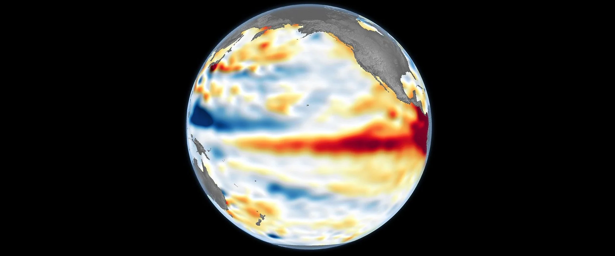
Super El Niño 2026: What a Record El Niño Means for Your Winter
Last updated: 29 September 2026. Data: NOAA Climate Prediction Center (weekly Niño indices to the week of 23 September; ENSO discussion of 10 September 2026) and the IRI forecast of 21 September, plus national weather services. Quick Answer The 2026 El Niño is on course to become the strongest ever measured. In the week of…
August 2026 Tied the Hottest Month Ever Recorded, Pushing the World Back Above 1.5°C
Last updated: 14 September 2026. Data: Copernicus Climate Change Service (C3S), released 10 September 2026. Quick Answer August 2026 was the joint-hottest month ever recorded on Earth. The global average surface air temperature reached 16.96°C, which is 1.65°C above pre-industrial levels (1850–1900) and 0.85°C above the 1991–2020 average, according to the Copernicus Climate Change Service.…
WeatherNext 3: Google’s New AI Weather Model, Explained
Last updated: 4 September 2026. Announcement artwork: Google DeepMind. Quick Answer Google DeepMind released WeatherNext 3 on 3 September 2026, and the headline change is not raw accuracy — it is resolution and speed. The model produces forecasts at 5 km resolution for surface temperature and moisture, updated every hour, against 25 km every six…
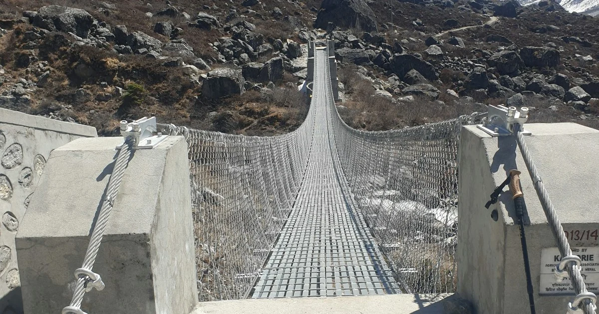
Nepal Flood 2026: A Glacier Collapse, Not Monsoon Rain
Last updated: 14 September 2026. This is a developing story. Casualty figures below are updated to the 12 September count from Nepal’s National Disaster Risk Reduction and Management Authority (NDRRMA). Where an earlier figure from 28 August is kept, it is marked as such, so the record of what was known when stays visible. Update,…
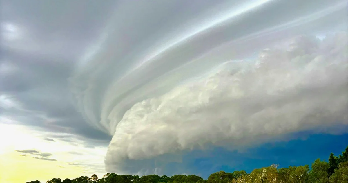
France Tornado at Pomas: The Rare Derecho That Crossed 550 km
Last updated: August 25, 2026. Quick Answer A tornado tore through the village of Pomas in the Aude, about 12 km south of Carcassonne, just after 5pm on Monday 24 August 2026, injuring 41 people and damaging around 300 homes in a commune of roughly 1,000 inhabitants. Fifteen people were hospitalised, including a pregnant woman…
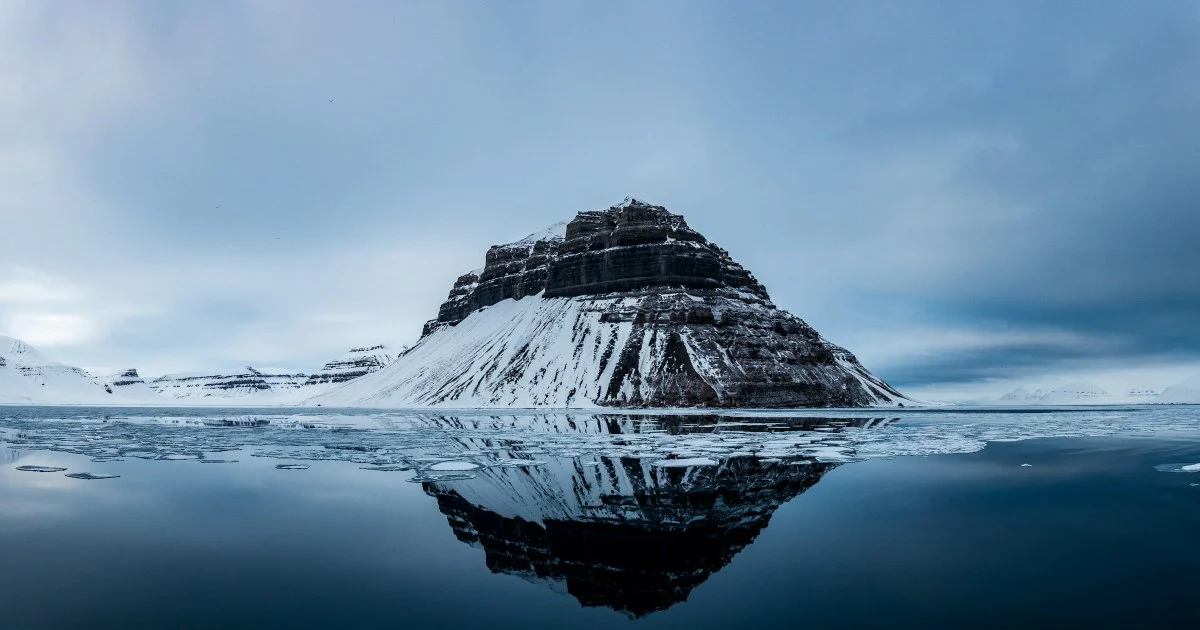
Arctic Sea Ice in 2026: The Oldest Ice Has Almost Gone
Last updated: August 24, 2026. Quick Answer Arctic sea ice is not just shrinking in area — it is getting young. Ice more than four years old has collapsed by 95% since the 1985–2004 baseline, from 1.72 million square kilometres down to just 95,000 at the September 2025 minimum. On 2 August 2026 Arctic extent…
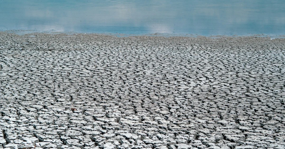
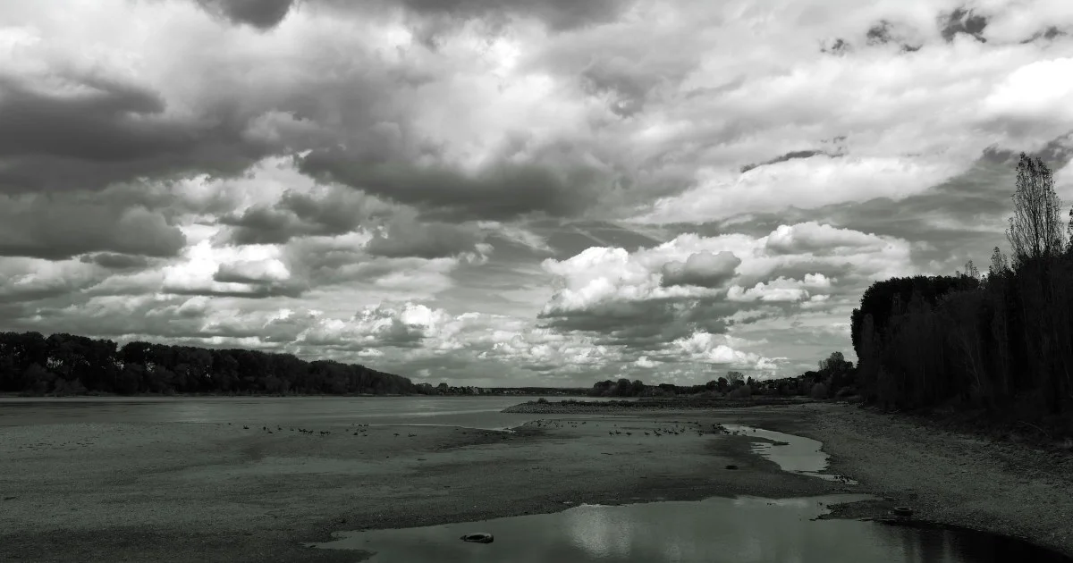
Europe’s 2026 Drought: The Rhine Hits Its Lowest Level Since 1880
Last updated: August 23, 2026. Quick Answer Europe is in the grip of a drought that has pushed the Rhine to its lowest level since records began in 1880, exposed centuries-old “hunger stones” carved to warn of famine, and knocked out more than a fifth of France’s nuclear generating capacity. Around half of EU and…
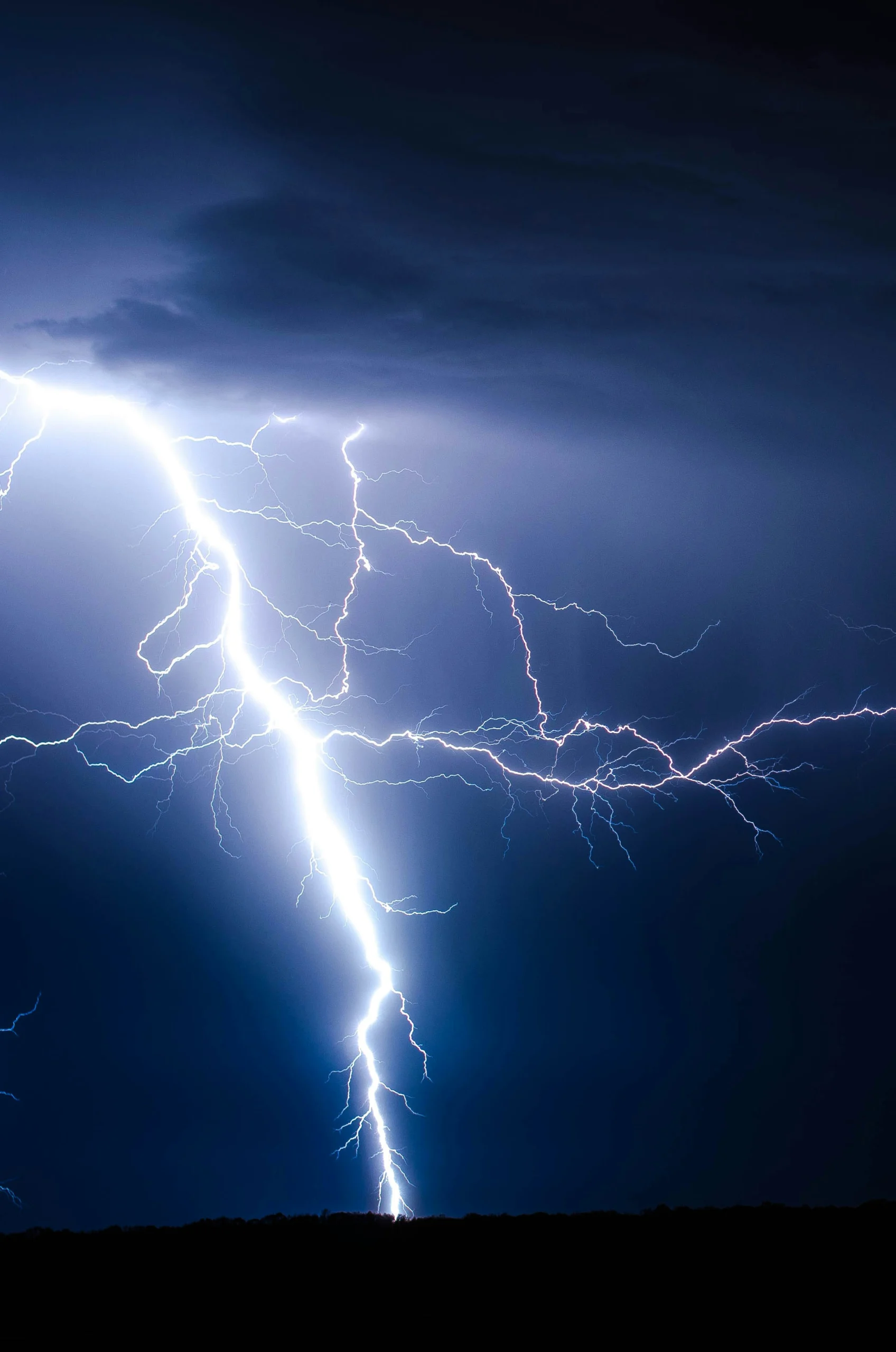
Lightning Myths, Debunked: Does It Really Never Strike the Same Place Twice?
Nine common lightning myths, checked against NOAA and National Weather Service data — including whether lightning really never strikes the same place twice, whether rubber tires protect you, and what actually determines where a bolt lands.

El Niño vs. La Niña Explained: How ENSO Reshapes Weather Worldwide (2026 Update)
What El Niño and La Niña actually are, how the ENSO cycle drives weather patterns on every continent, and what the strong El Niño event underway in 2026 means for hurricanes, heat, and global temperatures.