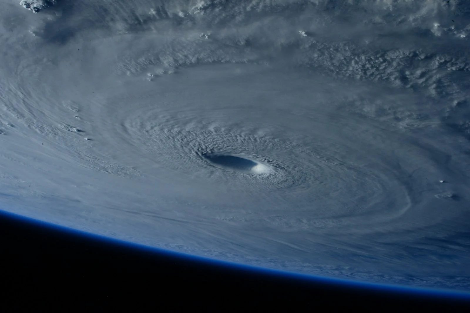
The 2026 Atlantic hurricane season, running June 1 through November 30, got its first named storm on June 17 when Tropical Storm Arthur formed, and forecasters are calling for a below-normal season overall.
What Forecasters Are Predicting
NOAA gives the Atlantic basin a 55% chance of a below-normal season, a 35% chance of near-normal activity, and just a 10% chance of an above-normal year, predicting 8 to 14 named storms with 3 to 6 becoming hurricanes and 1 to 3 reaching major hurricane strength (Category 3 or higher). Independent forecasters differ slightly: AccuWeather calls for 11 to 16 named storms, while Colorado State University’s team projects 13 named storms and 6 hurricanes.
Why This Season Is Expected to Be Quieter
An expected El Niño pattern is the main factor. El Niño tends to increase wind shear across the Atlantic, which tears apart developing storms before they can organize, even when ocean temperatures are running slightly warmer than average.
Why the Forecast Number Isn’t the Whole Story
A “below-normal” season doesn’t mean a harmless one. It only takes one storm making landfall near you to make it a bad year locally, which is why coastal residents should prepare the same way every season regardless of the seasonal outlook. Our hurricane preparedness checklist covers exactly what to have ready before a storm is even named.
How to Track a Storm as It Develops
Once a system is designated, the earliest warning signs usually show up on radar and satellite imagery well before local news picks it up. A live rain and radar map lets you watch rain bands rotate into your area in real time, which is exactly how tropical systems reveal their structure and intensity as they approach.
In Conclusion
“Below-normal” is a seasonal average, not a guarantee. With Arthur already on the books, the safest approach is to prepare early and keep radar open once hurricane season activity picks up, especially through the peak months of August through October.
Update: The Forecast Was Right
Updated 3 September 2026. The article above was written in early July, when Tropical Storm Arthur was the season’s only named storm. Here is how the season has actually unfolded.
The below-normal forecast has held up unusually well. NOAA’s 55% probability of a quiet season looked like a hedge in July. By the start of September the Atlantic had produced only three named storms and not a single hurricane — running below even the low end of the 8–14 named storm range, with the traditional peak of the season underway.
Tropical Storm Cristobal, the third named storm, illustrated the pattern precisely. It formed on 12 August over the central subtropical Atlantic with winds of 45 mph, roughly 880 miles west of the Azores — and was forecast to fall below tropical storm strength within a day. It dissipated almost immediately, never approached land, and prompted no coastal watches or warnings.
Why the shear won
The mechanism named in the original article — El Niño strengthening wind shear across the Atlantic — is exactly what has played out. Storms have formed and then been torn apart before they could organise, despite ocean temperatures running warm enough to support them. Warm water is only one ingredient; without a relatively calm vertical column, a storm cannot build a coherent core.
The other half of the story
The same El Niño that suppressed the Atlantic did the opposite in the Pacific. By 21 August the north-west Pacific had recorded 19 named typhoons, in a season forecast to be among the most intense on record, with Typhoon Sinlaku peaking at 70 m/s and 900 hPa.
Three Atlantic storms against nineteen Pacific typhoons in the same summer is the clearest illustration you will find of why a quiet basin is not a quiet planet. Our explainer on El Niño and La Niña covers the mechanism behind that see-saw.
The caveat still stands
The original article’s closing point has not changed and is worth repeating: a below-normal season is a statistical average, not a personal guarantee. The season runs to 30 November, October has produced significant landfalls in far quieter years than this, and it still only takes one storm arriving where you happen to live. The preparedness checklist applies regardless of the seasonal number.