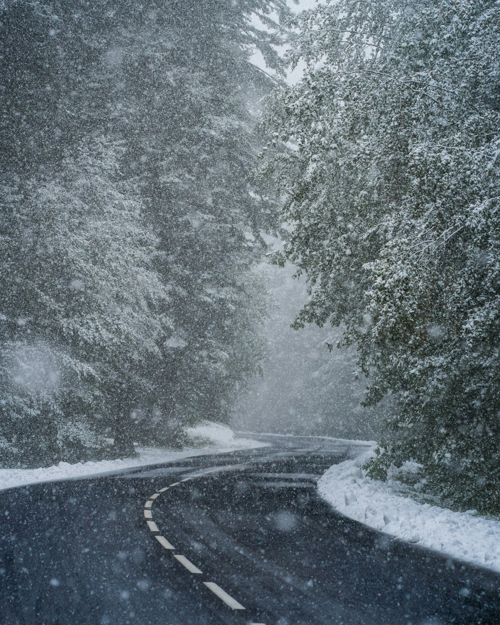
Weather radar can detect snow, but it’s noticeably less reliable at it than at detecting rain, mainly because snowflakes reflect far less energy than raindrops and because the radar beam frequently overshoots shallow winter storm systems entirely.
Why Snow Is Harder for Radar to “See”
Snowflakes are less dense and reflect radar energy much less efficiently than liquid raindrops of a similar size, which means a genuinely significant snowfall can sometimes show up as only a faint, unimpressive signal on radar, understating how much is actually falling.
The Beam Overshoot Problem Gets Worse in Winter
Because winter storm clouds are often shallower than summer thunderstorms, and because the radar beam rises with distance from the tower (the same effect covered in our piece on why radar sometimes shows nothing when it’s raining), the beam can pass entirely above a shallow snow band once you’re 60-100+ miles from the nearest station, making moderate snow disappear from the map even as it piles up on the ground.
Radar Can’t Tell You Snow Accumulation Directly
Radar shows precipitation intensity, not snow depth. Converting that signal into an actual accumulation estimate requires additional assumptions about temperature and snow-to-liquid ratio, which is why snowfall forecasts rely on computer models and ground reports at least as much as radar itself.
What Radar Is Still Good For in Winter
Despite its limits, radar remains excellent at showing you the general shape, timing, and movement of an approaching winter system, including the rain/snow transition line during a mixed-precipitation event. Watching a live radar map as a system approaches still gives you a solid sense of when precipitation will start and roughly how long it will last, even if the exact snow totals need to come from a forecast rather than the map alone.
Why Snow Returns a Weaker Echo
Radar reflectivity depends on what the beam is hitting, and snow is a poor reflector compared with rain. Water is dense and reflects microwaves strongly. A snowflake is mostly air held in an irregular ice lattice, so the same mass of precipitation returns far less energy as snow than as rain.
The practical consequence is systematic underestimation. A snowfall that would show as solid green if it were rain may appear as faint blue, or not register at all. Heavy snow can look like light precipitation on an uncalibrated display.
The Bright Band
The opposite error happens at the melting layer. As snowflakes descend through the freezing level they develop a coating of liquid water while retaining their large irregular shape — briefly becoming large, wet, highly reflective particles.
On radar this produces the bright band: a ring of exaggerated intensity at the altitude where melting occurs, often appearing as a distinct circle around the station. It is one of the most common sources of overestimated rainfall on radar, and it means the same storm can be underestimated as snow above the melting layer and overestimated within it.
Where Dual-Polarisation Helps
Modern dual-polarisation radar transmits pulses both horizontally and vertically, revealing particle shape. Because raindrops flatten as they fall while snowflakes stay irregular and hail tumbles, comparing the two returns lets the radar classify precipitation type rather than just measure intensity.
This substantially improved winter forecasting. Radar can now identify the boundary between rain, sleet and snow, and track how that boundary moves during a storm — the single most useful piece of information in a marginal winter event.
Practical Advice in Winter
- Assume underestimation. Light-looking returns in cold conditions may be moderate or heavy snow.
- Check temperature alongside radar using the live temperature map. Radar shows precipitation, not its phase.
- Watch for the melting layer. A suspiciously bright ring at constant distance from a station is usually the bright band, not a real band of heavy precipitation.
- Distrust totals. Snow-to-liquid ratios vary from about 5:1 for wet snow to 20:1 or more for dry powder, so radar rainfall estimates translate poorly into snow depth.
Frequently Asked Questions
Can weather radar track snow?
Yes, but less reliably than rain. Snow reflects radar energy far more weakly than water, so radar systematically underestimates snowfall intensity, and shallow snow at long range is frequently missed entirely.
Why does snow look lighter on radar than it is?
Because a snowflake is mostly air within an ice lattice and reflects microwaves poorly compared with a dense water droplet. The same precipitation mass returns much less energy as snow than as rain.
What is the bright band on radar?
A ring of exaggerated reflectivity at the altitude where snow melts into rain. Melting flakes are briefly large and wet, making them unusually reflective, which causes radar to overestimate intensity at that level.
Can radar tell the difference between rain and snow?
Modern dual-polarisation radar largely can, by measuring particle shape as well as intensity. Older single-polarisation radar cannot, which is why checking air temperature alongside radar remains good practice.
Can radar estimate snow depth?
Poorly. Radar estimates liquid equivalent, and the ratio of snow depth to liquid varies from roughly 5:1 for wet snow to over 20:1 for dry powder, so the same radar reading can mean very different accumulations.
In Conclusion
Radar is a genuinely useful winter storm tool, just not a perfectly accurate one. Use it to track timing and movement, and lean on official snowfall forecasts for how much will actually pile up.