“Rain radar” and “weather radar” are often used interchangeably, but they aren’t quite the same thing. Understanding the distinction helps you pick the right tool for the question you’re actually trying to answer.
What Weather Radar Actually Measures
Weather radar is a broad category of Doppler radar systems that detect far more than rain. They measure precipitation type and intensity, but also wind velocity within storms, hail signatures, and even debris patterns associated with tornadoes. Meteorologists rely on full weather radar data for severe storm warnings.
What a Rain Map Focuses On
A rain map, like our real-time rain map, is a simplified, consumer-friendly view built primarily around one variable: where precipitation is falling and how heavy it is. It strips away the more technical layers (velocity, dual-polarization data, storm-relative motion) to answer the question most people actually have: is it raining, or about to rain, right where I am?
Why the Simplified View Is Often Better for Everyday Use
- Faster to read: A single color scale for rainfall intensity is easier to interpret at a glance than a multi-layered meteorological display.
- Mobile-friendly: Rain maps are designed for quick checks on a phone before heading out the door.
- Global coverage: Many rain maps blend multiple data sources to provide worldwide coverage, while raw weather radar networks are regional and government-operated.
When You Need Full Weather Radar Instead
If a serious storm is approaching, meteorological detail matters. Combine a rain map with a real-time wind map and lightning map to build a more complete picture of storm structure and severity, similar to what full weather radar provides in a single display.
Why the Terms Get Confused
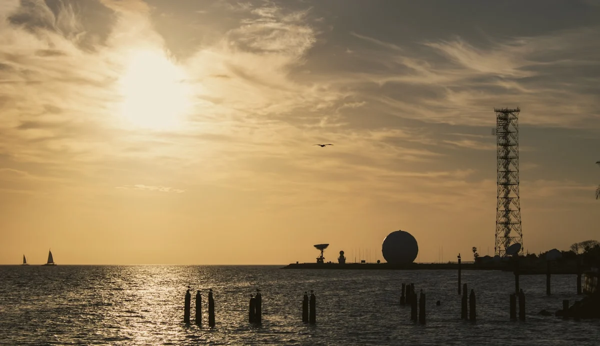
The confusion is largely a matter of marketing versus meteorology. “Weather radar” is the correct technical term for the instrument — a ground station that detects precipitation and, if Doppler capable, its motion. “Rain radar” is a consumer label for one particular product derived from that instrument: the precipitation intensity map you see in apps.
So they are not two technologies. A rain radar map is one output of a weather radar, filtered and colour-coded for a general audience.
What Consumer Maps Leave Out
The professional instrument produces considerably more than the coloured blobs most people see.
- Velocity data showing motion towards and away from the station, which is how rotation and mesocyclones are identified.
- Dual-polarisation products revealing particle shape, distinguishing rain from hail from snow from debris.
- Multiple elevation angles. A radar scans a series of tilts building a three-dimensional picture; consumer maps usually show only the lowest.
- Storm-relative velocity, which subtracts the storm’s own motion to reveal rotation more clearly.
Consumer apps deliberately simplify all this to a single reflectivity layer, because for the everyday question of whether it will rain, the rest is noise.
When the Simplification Matters
Most of the time it does not. For deciding whether to walk the dog, a reflectivity map is exactly right.
It matters in severe weather. A consumer map can show you an intense storm cell but cannot show you whether it is rotating — and rotation is the difference between heavy rain and a tornado risk. This is why during severe weather you should rely on official warnings from your national meteorological service rather than reading a rain map yourself. They have access to the full product suite and the training to interpret it.
Frequently Asked Questions
What is the difference between rain radar and weather radar?
They are not different technologies. Weather radar is the instrument; rain radar is the consumer-facing precipitation map derived from it. A rain radar map shows one output, reflectivity, from a weather radar that also produces velocity and dual-polarisation data.
Do rain radar apps show all the radar data?
No. They typically show only base reflectivity from the lowest scan angle. Velocity data, dual-polarisation products and higher elevation scans are used by forecasters but are omitted from most consumer displays.
Can a rain radar map show tornadoes?
Not reliably. Identifying rotation requires velocity data, which most consumer maps do not display. During severe weather, follow official warnings from your national meteorological service rather than interpreting a reflectivity map yourself.
Is rain radar accurate enough for everyday use?
Yes. For determining whether precipitation is falling and where it is heading over the next 30 to 90 minutes, a standard reflectivity map is reliable and is what it is designed for.
What is base reflectivity?
The precipitation intensity measured at the radar’s lowest scan angle. It is the layer shown on nearly all consumer rain maps because it best represents conditions near the ground.
In Conclusion
Weather radar is the professional’s instrument; a rain map is the everyday translation of that same underlying data. For quick decisions like whether to grab an umbrella or delay a run, a rain map is usually all you need.