Tracking a hurricane in real time means combining three different tools: satellite imagery to see the storm’s overall structure, rain radar once it nears land to see rain bands and intensity up close, and the official forecast cone to understand where it’s likely headed.
Satellite Imagery: The Big Picture
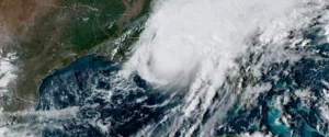
Satellites are how a hurricane is spotted and tracked for days before it ever reaches radar range, showing its overall size, the tightness of its eye, and how well organized its cloud bands are. A tight, symmetrical eye visible on satellite is generally a sign of a strengthening storm, while a ragged or exposed eye often signals weakening.
Radar Takes Over as Landfall Approaches
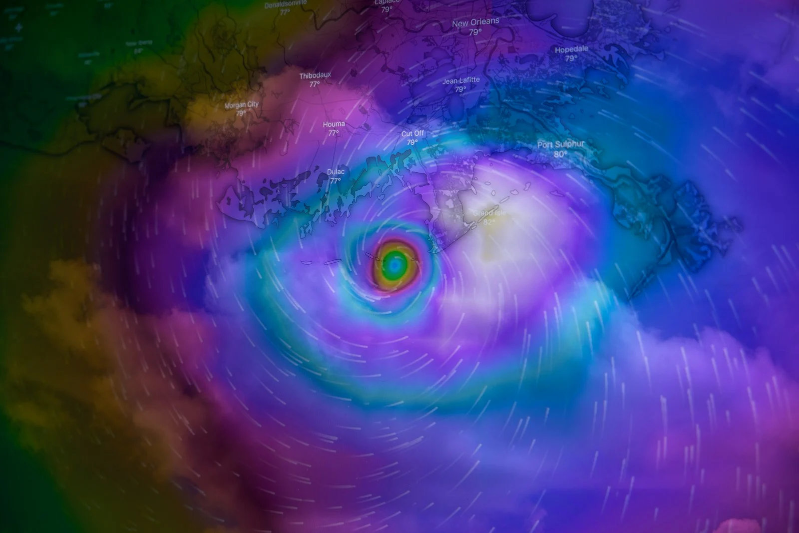
Once a hurricane moves within range of coastal radar stations, radar becomes the more useful tool, since it reveals rainfall intensity, embedded severe storms, and the double-eyewall structure that sometimes appears in strong hurricanes, details satellite alone can’t capture as precisely. A live rain map lets you watch individual rain bands rotate into an area hours before the core of the storm arrives.
Don’t Skip the Official Forecast Cone
Radar and satellite show you what’s happening right now; the forecast cone from your national hurricane center shows where the storm is expected to go next, based on modeling that accounts for far more than what any single map can display. Treat radar as your real-time confirmation tool and the official forecast as your planning tool, not the other way around.
Watch for Rotation and Embedded Storms
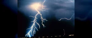
Even outside the core, hurricanes routinely spin off individual thunderstorms and occasional tornadoes in their outer bands. A live lightning map can help flag which parts of an approaching storm are most electrically active, often a proxy for where the most intense convection is happening.
Before the Storm Arrives
Tracking a storm is only half the job. Review our hurricane preparedness checklist well before a system is even near your area, since supplies and evacuation routes are far harder to sort out once a storm is 48 hours out.
The Three Phases of Tracking a Hurricane
Different tools matter at different distances, and using the wrong one is the most common mistake.
Days out — satellite and official forecasts. The storm is beyond radar range, so satellite imagery and the forecast cone from your national hurricane authority are the only meaningful sources. Watch the cone, not the centre line: the cone represents the probable track, and the storm is roughly as likely to be at its edge as its middle.
Final day — radar takes over. Once outer bands come within about 200 km of a coastal station, radar begins resolving structure that satellite cannot: individual rainbands, the eyewall, and embedded rotation.
During and after — radar for rainfall. Wind gets the attention, but inland freshwater flooding from a decaying system frequently causes more deaths, often days later and hundreds of kilometres from the coast.
Reading the Forecast Cone Properly
The cone is widely misread. It shows the likely track of the centre — historically the centre stays within it about two thirds of the time. It says nothing about the storm’s size, and hazardous conditions routinely extend well beyond it. Being outside the cone does not mean being safe.
What Radar Adds in the Final Hours
- Timing. Watching bands approach gives far better arrival estimates than a forecast issued hours earlier.
- Which side you are on. In the northern hemisphere the right side of the track is generally worse, because forward motion adds to rotational wind.
- Embedded tornadoes. Outer bands frequently produce brief tornadoes, most often in the right-front quadrant.
- Eyewall structure. A sharp circular eyewall indicates a strong organised storm; a ragged one suggests weakening or disruption.
The Hazard You Cannot Track on Radar
Storm surge is the leading cause of hurricane deaths and is completely invisible to radar, which detects precipitation in the atmosphere rather than ocean water. Surge depends on storm size, track, forward speed, coastal shape and seafloor depth. It is forecast by dedicated models run by official agencies, and evacuation orders are based on it. Never use radar to second-guess an evacuation order.
Frequently Asked Questions
How do I track a hurricane in real time?
Use satellite imagery and official forecast cones while the storm is days away and beyond radar range, then switch to radar in the final day once outer bands come within about 200 km of a coastal station. Follow your national hurricane authority throughout.
What does the forecast cone actually show?
The probable track of the storm’s centre, which historically stays within the cone about two thirds of the time. It does not indicate the storm’s size, and dangerous conditions frequently extend well outside it.
Can radar track a hurricane over the ocean?
Only near the coast. Radar range is roughly 150 to 250 km from a ground station, so hurricanes crossing open ocean are tracked by satellite and reconnaissance aircraft until they approach land.
Which side of a hurricane is most dangerous?
In the northern hemisphere, the right side relative to the direction of travel, because the storm’s forward motion adds to its rotational wind speed there. In the southern hemisphere it is the left side.
Why can radar not show storm surge?
Because radar detects precipitation in the atmosphere, not ocean water. Surge is modelled separately by official agencies and is the basis for evacuation zones, which is why those orders should never be judged against a radar map.
Is the wind or the water more dangerous in a hurricane?
Water. Storm surge is the leading cause of deaths, and inland freshwater flooding from the decaying system frequently kills more people than the wind, often days after landfall and far from the coast.
In Conclusion
No single map tells the whole story of a hurricane. Satellite, radar, and the official forecast cone each answer a different question, and using all three together is what separates informed tracking from just watching the news.