NOAA has launched a new suite of operational, AI-driven global weather models, including one that produces a full 16-day forecast in about 40 minutes using just 0.3% of the computing power required by its traditional counterpart, marking one of the most significant shifts in forecasting technology in decades.
Quick Facts
- What launched: NOAA’s AIGFS, Artificial Intelligence Global Forecast System, part of a new three-model AI suite
- Speed and efficiency: a 16-day global forecast in roughly 40 minutes, using about 0.3% of the compute of the traditional GFS model, up to 99.7% less computing resource use overall
- Radar AI: convolutional neural networks trained on radar imagery now flag severe thunderstorm signatures like rotation and hail faster than manual analysis
- Performance: AI weather models now outperform traditional physics-based models on roughly 90% of measured metrics
- Where it is headed: hybrid models that blend machine learning with physical atmospheric equations are the current research frontier
What NOAA Just Launched
NOAA’s new AIGFS is designed to run alongside, not fully replace, the agency’s traditional Global Forecast System, giving forecasters a second, much faster opinion on where a storm system is headed. Because it needs a fraction of the computing power of a conventional numerical weather model, NOAA can run it more frequently and update forecasts faster after new data comes in, which matters most in the hours before a fast-developing severe weather outbreak.
Radar Gets an AI Upgrade Too
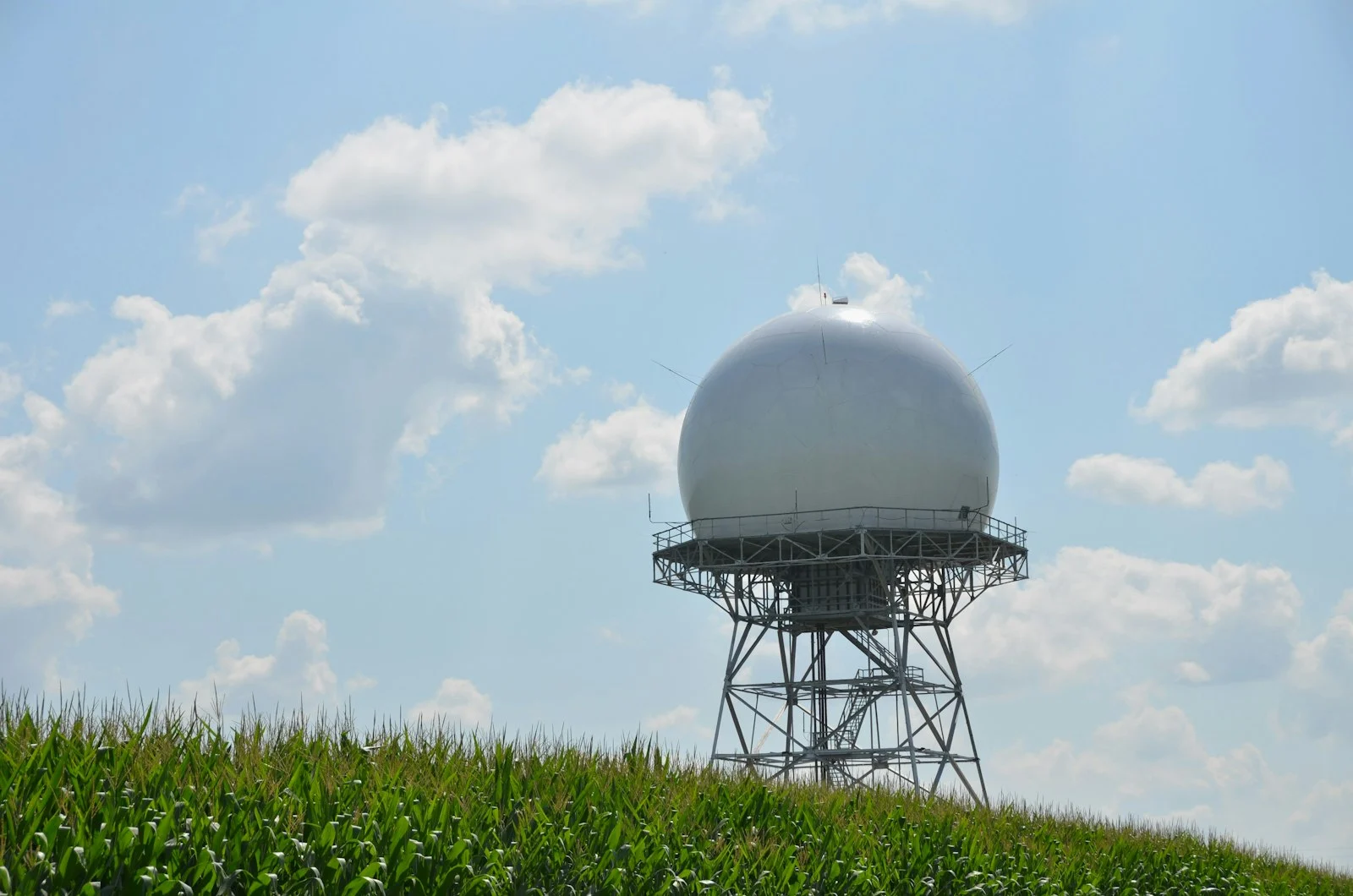
The AI shift is not limited to global forecast models. Convolutional neural networks trained on years of radar imagery are now being used operationally to spot the signatures of severe thunderstorms, rotation patterns associated with tornadoes, and the reflectivity patterns typical of large hail, often faster than a human analyst scanning the same radar loop. That speed advantage can translate directly into earlier warnings on the ground.
Nvidia’s Earth-2 and the Rise of Generative Weather Models
Chipmaker Nvidia has pushed further into this space with its Earth-2 family of models, including a nowcasting tool that uses generative AI trained on satellite and radar data to predict how existing cloud and rainfall systems will evolve over the next few hours. Rather than solving traditional physics equations, generative nowcasting models learn statistical patterns of how storms organize and dissipate directly from historical radar data, an approach that has proven especially strong at short-range, high-resolution forecasts.
Is AI Actually Better?
By most published metrics, yes, at least for now. AI-driven models are reported to outperform traditional physics-based forecasts on roughly 90% of the metrics researchers track, particularly for medium-range forecasts of several days out. But the field’s most active research is not about replacing physics entirely. Hybrid models that combine machine-learned components with the physical constraints of the atmosphere, conservation of mass and energy, for example, are increasingly seen as the most promising path forward, since pure pattern-matching models can occasionally produce physically implausible forecasts.
What This Means for You
None of this changes what you should actually do when a storm approaches, it just means the forecast reaching your phone or your local meteorologist arrived faster and, increasingly, more accurately. A live rain map still gives you the most direct, real-time view of what is actually happening overhead right now, which remains the best complement to any forecast, AI-generated or otherwise. For the fundamentals behind the radar data these models are trained on, see our explainer on understanding radar reflectivity.
Frequently Asked Questions
What is NOAA’s AIGFS?
AIGFS, or Artificial Intelligence Global Forecast System, is a new AI-driven global weather model NOAA has deployed operationally alongside its traditional Global Forecast System, producing 16-day forecasts in about 40 minutes using a fraction of the usual computing power.
Is AI weather forecasting more accurate than traditional models?
Current research indicates AI models outperform traditional physics-based forecasts on around 90% of tracked metrics, though the most promising approaches now combine AI with physical atmospheric constraints rather than relying on AI alone.
Does AI forecasting replace radar?
No. AI models are often trained on historical radar and satellite data and are increasingly used to analyze radar imagery faster, such as spotting severe storm signatures, but live radar remains the primary real-time source of what is actually happening in the atmosphere right now.
In Conclusion
Weather forecasting just got dramatically faster and, by most measures, more accurate, without needing a bigger supercomputer to do it. The next generation of severe weather warnings is likely to arrive earlier because of it, but a live radar map remains the fastest way to see exactly what is happening above you at this moment.