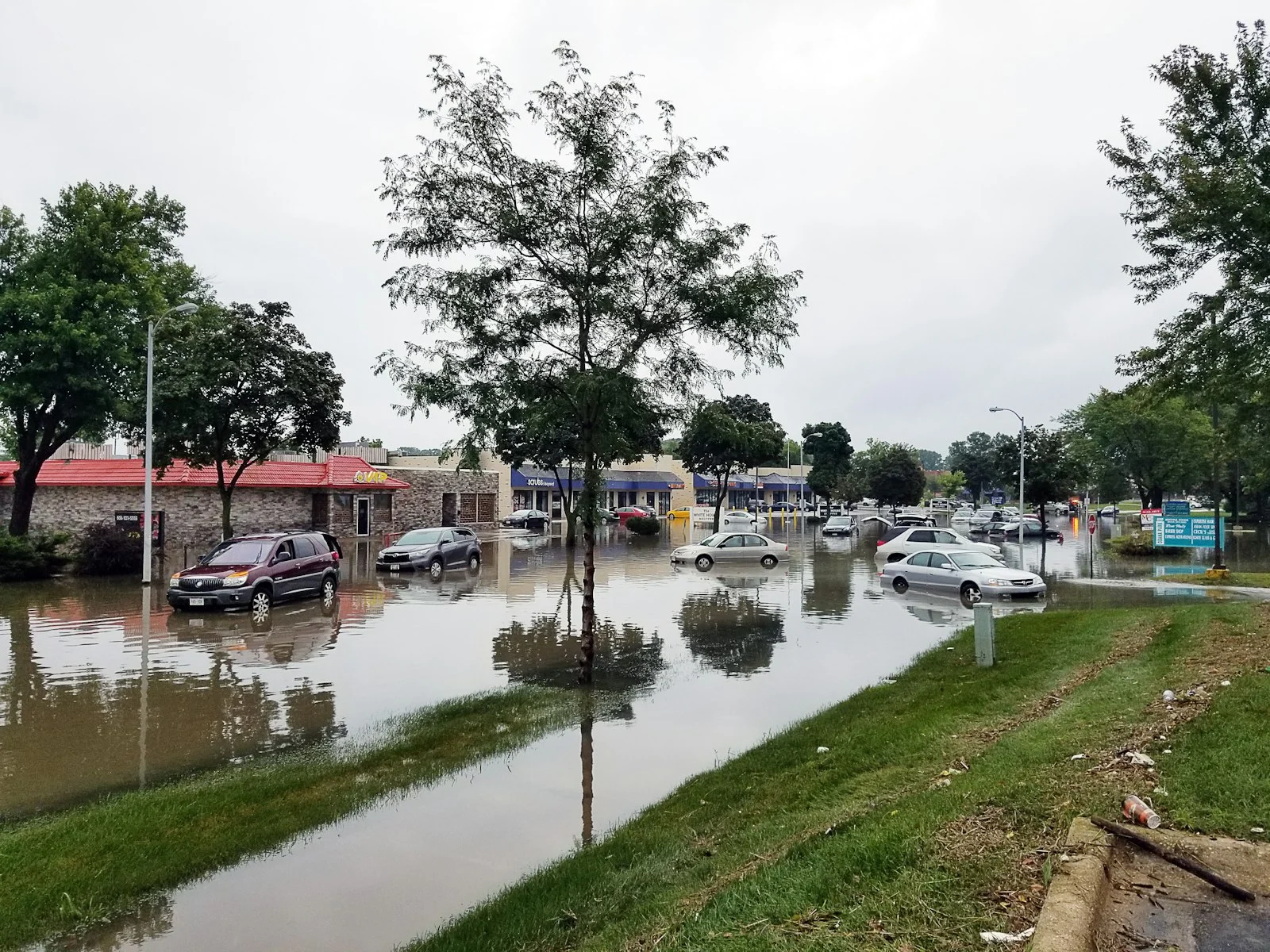
A Flash Flood Emergency swept across Iron and Reynolds counties in southeastern Missouri on Friday, July 10, 2026, after storms dumped as much as 12.25 inches of rain in a matter of hours, triggering more than 350 water rescues and forcing the evacuation of a summer camp with 200 children.
Quick Facts
- Where: Iron and Reynolds counties, southeastern Missouri, in the Ozarks
- When: Friday, July 10, 2026
- Rainfall: up to 12.25 inches in a matter of hours
- Rescues: more than 351 as of 9:45 p.m. that night
- Evacuated: 200 children from Camp Taum Sauk, relocated to St. Louis
- Status: at least one person remained missing as of the latest reports, and additional heavy rain threats followed through the weekend
A Rare Emergency-Level Alert for the Ozarks
The National Weather Service issued a Flash Flood Emergency, its highest-level flood alert, for Iron and Reynolds counties after thunderstorms stalled over the same stretch of the Ozark foothills for hours. Rain totals approaching a foot in a single event are extreme even by flash-flood standards, and the hilly, rocky terrain of the region does little to absorb that much water quickly, sending it rushing into creeks and the Black River almost immediately.
More Than 350 Rescues in a Single Night
Emergency crews, including Missouri Task Force 1, performed more than 351 water rescues as floodwaters rose through the evening, pulling residents from vehicles, homes, and low-lying roads across the two counties. The scale of the response, more than 350 rescues in a single night, ranks among the more intense flash-flood rescue operations in the state in recent years.
Camp Taum Sauk and the Black River
Among the most dramatic scenes was the evacuation of Camp Taum Sauk, where roughly 200 children were moved out and relocated to St. Louis as the Black River rose around the area. In nearby Lesterville, campers were evacuated separately and multiple homes were reported submerged as the river continued climbing overnight.
The Threat Did Not End With the Weekend
The Weather Prediction Center flagged a continuing, elevated flash flood risk in the days that followed, with a Level 2 of 4 threat spreading across southeastern Missouri, Kentucky, Tennessee, and West Virginia into Saturday, then shifting into eastern Tennessee, western North Carolina, and southern Virginia by Sunday. Saturated ground from the initial event meant subsequent rainfall, even at lower totals, carried a higher flood risk than it normally would.
How to Track Flash Flood Risk in Real Time
Flash floods like this one develop fast, often within a few hours of the heaviest rain falling, which is why watching conditions as they unfold matters more than checking a forecast the night before. A live rain map shows exactly where the heaviest rain bands are sitting and whether they are moving or stalling in place, which is the key warning sign behind almost every flash flood emergency. For Missouri specifically, the Missouri radar page gives a continuously updated view of rainfall across the state.
Frequently Asked Questions
What caused the Missouri flash flooding in July 2026?
Thunderstorms stalled over Iron and Reynolds counties for several hours, dropping as much as 12.25 inches of rain onto hilly terrain that drains quickly into creeks and the Black River, overwhelming the area faster than residents could react.
How many people were rescued?
More than 351 water rescues had been performed as of 9:45 p.m. on the night of the event, according to local emergency officials.
Is more flooding expected in the region?
Yes. Forecasters flagged an elevated flash flood risk continuing into the following days across parts of Missouri, Kentucky, Tennessee, West Virginia, North Carolina, and Virginia, in part because already-saturated ground raises flood risk from any additional rain.
In Conclusion
A foot of rain in a matter of hours turned quiet Ozark creeks into an emergency that required hundreds of rescues and the evacuation of a children’s summer camp. When ground is already saturated, it does not take another historic rainfall to cause serious flooding, just watch the radar and act early.